"Residents would prefer that trail access remain exclusive to pedestrians."
That's the finding the Loghill Village Park & Recreation District posted after wrapping up a survey on multi-use trail access. No public meeting minutes with competing factions, no drawn-out ordinance fight. Just a straightforward result, published on the district's own site, closing a question that had clearly been asked. The interesting part isn't that the district ran a survey. It's that the rule the survey confirmed was already on the books. Bikes and dirt bikes have never been permitted on these trails. Residents were asked whether to change a policy that already existed, and they voted to leave it exactly as it was.
To understand why that non-change still matters, it helps to know how this stretch of trail came to exist at all.
A Meadow the Developer Wanted to Sell
The Loghill Village Park and Recreation District is a Title 32 special district, formed in 1995 by resolution of the Ouray County Board of County Commissioners. It exists because of a specific parcel dispute. LHV Unit 1 lot A-1, a sixty-acre piece of land where the fire station now sits, was supposed to be set aside for government use. Instead, the developer wanted to sell it as a high-end home site. The community pushed back, arguing that both that lot and the meadow just east of it were a neighborhood resource, not inventory. A petition went to the county, the district was formed, and the fight over who controls this ground has shaped the mesa's public land ever since.
The district never actually got lot A-1. The Log Hill Mesa Fire Protection District acquired it instead and kept most of it in public ownership, which is why the fire station on Ponderosa Drive sits on land that started out as a contested homesite. Two different public entities, born from the same 1995 argument, ended up dividing the same disputed ground between a firehouse and a trail system.
Five Trails, Built By the People Who Fought For the Land
Once the park district had land instead of a lawsuit, its board shifted to something more concrete: building trails by hand. The original network consists of five named routes.
- Escarpment Trail
- Elk Run
- Elk Meadow Loop
- Deer
- Oak
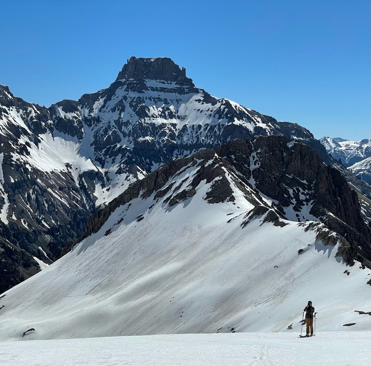
Board members and volunteers cut these themselves. The Escarpment Trail became the anchor, carrying hikers along a ridge with open views south across the Uncompahgre River valley toward the San Juan range, the kind of sightline that doesn't need much narration once you're standing in front of it. Partway along that trail, the district also built the Inspiration Point picnic pavilion, which functions as the closest thing this network has to a formal destination rather than a pass-through point.
Deer and elk turn up regularly enough along the Escarpment stretch that it's a normal, unremarkable part of walking it. The trail runs through a residential development, so private property markers and houses are visible in places, but the routing keeps most of the walk oriented toward the valley rather than the driveways.
A Decade of Small Additions, Not One Big Expansion
The district's footprint grew in increments rather than in a single land rush. A resident gave the district a twenty-acre parcel, lot A-18, adjacent to the fire district's land, in 2001. The open space in Unit 4 was added in 2016. Altogether the district now owns and manages 488 acres across Units 1 and 4, threaded by ten miles of trail and served by several parking areas.
The connective work has kept pace with the acreage. Within the past decade, the district built a link tying the Elk Run Trail across Ponderosa Drive near the community mail kiosk, added steps on both sides of that crossing, cut a new trail segment across the meadow, and built a bridge over a drainage culvert to extend the connection to the Escarpment Trail. None of these are dramatic projects. They're the kind of maintenance that only shows up when you're the one walking the route regularly and notice the new steps where there used to be a scramble.
The Question the District Put to a Vote
Given that no-bikes has been the stated rule all along, per the district's own about-us page, the recent survey reads less like a policy change and more like a check-in. Someone, somewhere, was pushing for multi-use access, wheeled traffic alongside foot traffic, enough that the board thought it worth asking the whole district rather than assuming the existing rule still had support. The answer came back unambiguous. Pedestrian-only stays.
It's worth sitting with the fact that this is the second time in this district's history that a proposal to convert shared community land toward a different use met a wall of resident preference for keeping it as-is. In 1995 the proposed use was a private homesite. In this survey it was multi-use trail access. The mechanism repeated even though the stakes were smaller.
What It's Like to Use Them
The practical rules are simple. Trails are open to everyone, wheeled vehicles aren't, and groups of ten or more are asked to reserve ahead of time through the district. Current trail maps are posted on the district's site, along with the reservation steps for anyone planning a larger outing at Inspiration Point or elsewhere on the network.
None of this requires special equipment or a permit for a solo walk. It requires knowing which entrance connects to which trail, which is where the Ponderosa Drive crossing near the mail kiosk earns its keep. That link means a resident on the Unit 1 side of Ponderosa can walk onto Elk Run without driving anywhere first, a small piece of infrastructure that matters more on a Tuesday afternoon than it ever will in a real estate listing.
The fire station that sits nearby, on the land the district couldn't acquire in 1995, is a reminder that this mesa's public spaces didn't arrive as a finished package. They were assembled parcel by parcel, argument by argument, by people who kept showing up to the same fights over what this land was for.
If you're walking the Escarpment Trail this fall and find yourself at Inspiration Point wondering who to thank for the bench, it traces back to the same volunteers who built the meadow crossing and the culvert bridge. Amanda F. Swain has spent two decades on this mesa watching those small additions accumulate, and she's always glad to talk trail conditions with a neighbor, no transaction required.